Loading

MapRef.org - MapMaking & GeoSpatial Insides

  • CRS
  • Glossary
  • GeoLingua
  • Publications
MapRef.org – GeoSpatial And MapMaking Insides

MapRef.org – GeoSpatial And MapMaking Insides

MapMaking, GeoSpacials, Coordinates and more

  • Insides
    • Map Making
    • Map Projections
    • Coordinate Reference Systems
    • Spatial Data
    • Data Modelling
    • MapRef Interactive
  • Interactive
  • MapRef.org
    • GeoLingua
    • Glossary
    • Publications
    • MapRef on Facebook
  • Shop
    • Fan-Shop
    • Gadget-Shop
  • Maps
  • e-cards
  • Donate
  • About
    • About Dr. Stefan A. Voser
    • Contact
  • Log In
    • Lost Password
    • Reset Password

HomeMapRef-Forum

Posts in category: MapRef-Forum

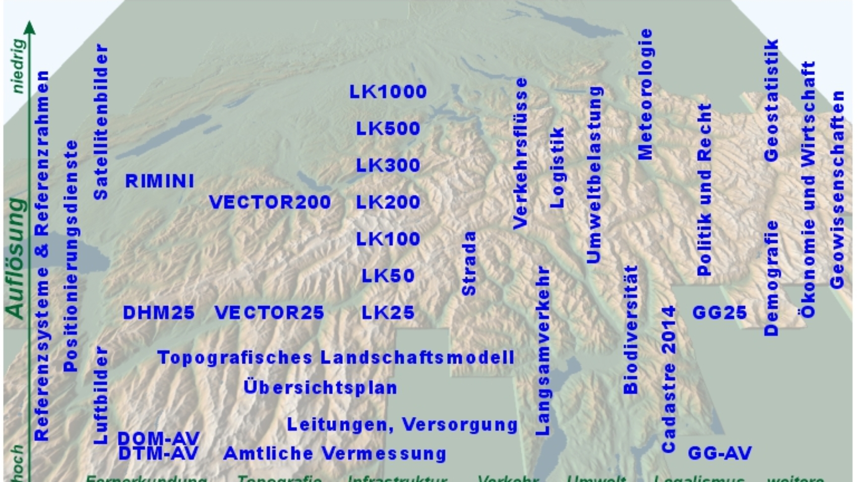
Datenlandschaft der Geodateninfrastruktur der Schweiz – Vision von 2002

Datenlandschaft der Geodateninfrastruktur der Schweiz – Vision von 2002

12/09/2020
by Dr. Stefan A. Voser with No Comment MapRef-Forumspatial dataspatial data infrastructure

Spatial Data of the Spatial Data Infrastructure – Vision of 2002
Datenlandschaft der Geodateninfrastruktur der Schweiz – Vision von 2002
Dr. Stefan A. Voser
mapref.org
Read More

Low scale-variation conformal world map?

22/03/2014
by RogerOwens with No Comment map projection theorymap projectionsMapRef-Forumtheory of map projectionusage of map projections

Low scale-variation conformal world map? – Roger Owen on forum.mapref.org

Read More

MapRef on Google+

17/11/2013
by MapRef.org with No Comment google+MapRef-Forummapref-userWebSite

Dear MapRef Vistors

MapRef is now easy to find on Google+ with the short url
http://plus.google.com/+MaprefOrg

regards
MapRef.org
17.11.2013

Read More

MapRef.org Forum now opened

31/10/2010
by MapRef.org with No Comment AdministrationMapRef-Forum

Dear MapRef-Visitor

due to a lot of user-needs not covered at mapref.org, the forum is opened to all registered visitors to contribute questions, solutions, and more. (Comments also need a registration).

The forum is accessible since 29.10.2010

regards

mapref.org

Read More

Follow Dr. Stefan A. Voser & MapRef.org

Follow Us on E-mailDr. Stefan A. Voser @ LinkedInMapRef on FacebookMapRef on InstagramFollow Us on mapref.orgFollow Us on Dr. Stefan A. Voser @ Xing

Recent Posts

  • MapMaking MapRef Interactive
  • Equal Earth Projection animated Equal Earth Map Projection
  • map projection selection Map Projection Selection by Regional Use
  • World Gravitational Model 2008 Worldwide – Geoid EGM2008
  • worldwide Worldwide Coordinate Reference Systems

Topics

  • Coordinate Reference Systems
  • Basics of Spatials Data Data Modelling
  • Geometry of Maps & Spatial Data Map Making
  • goode interrupt land mollweide Map Projections
  • MapMaking MapRef Interactive
  • Printed Russian Map and Classical Cartometry Tools Spatial Data

Popular

MapMaking

Understanding Maps

987 views
Printed or Digital Maps

Printed or Digital Maps?

845 views
World Gravitational Model 2008

Worldwide - Geoid EGM2008

583 views
3d-Panorama with Symbols

Cartography and Geospatial Visualization

459 views

Data Modelling of Map Projections

436 views
MapRef.org – GeoSpatial And MapMaking Insides
© 1996-2026 MapRef.org - GeoSpatial And MapMaking Insides. All rights reserved.
Shopping Basket